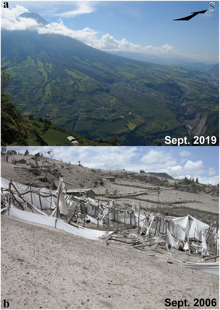
Figure 2.

(a) Western slope of Tungurahua volcano in September 2019 showing how high the farmed land spreads on the volcano's flank. Photograph by J. Eychenne taken from location F1 on Figure 1b. (b) Greenhouses and crops covered and destroyed by ash from the explosive plume from the 16–17 August 2006 eruptive phases. Photograph by J.‐L. Le Pennec, taken 1 month after this event. See location in Figure 1b.
