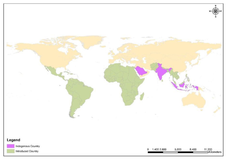
Figure 3.
ArcGIS 10.1-based spatial distribution map of Moringa oleifera, the purple color shows the indigenous countries like India, Saudi Arabia, and East indies, whereas the green color shows the introduced countries and regions such as Tropical Asia, Latin America, Africa, Pacific Island, Caribbean Florida, Madagascar, Central America, Cuba, Philippines, Ethiopia, and Nigeria. GIS layers were obtained from DIVA-GIS, an open-source web platform.

