Abstract
AIM--To describe how geodemographic segmentation systems might be useful as a quick and easy way of exploring postcoded health databases for potential interesting patterns related to deprivation and other socioeconomic characteristics. DESIGN AND SETTING--This is demonstrated using GB Profiles, a freely available geodemographic classification system developed at Leeds University. It is used here to screen a database of colorectal cancer registrations as a first step in the analysis of that data. RESULTS AND CONCLUSION--Conventional geodemographics is a fairly simple technology and a number of outstanding methodological problems are identified. A solution to some problems is illustrated by using neural net based classifiers and then by reference to a more sophisticated geodemographic approach via a data optimal segmentation technique.
Full text
PDF
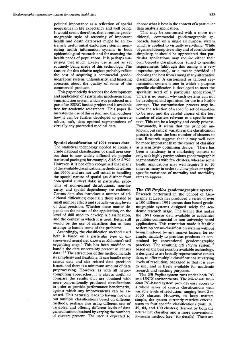
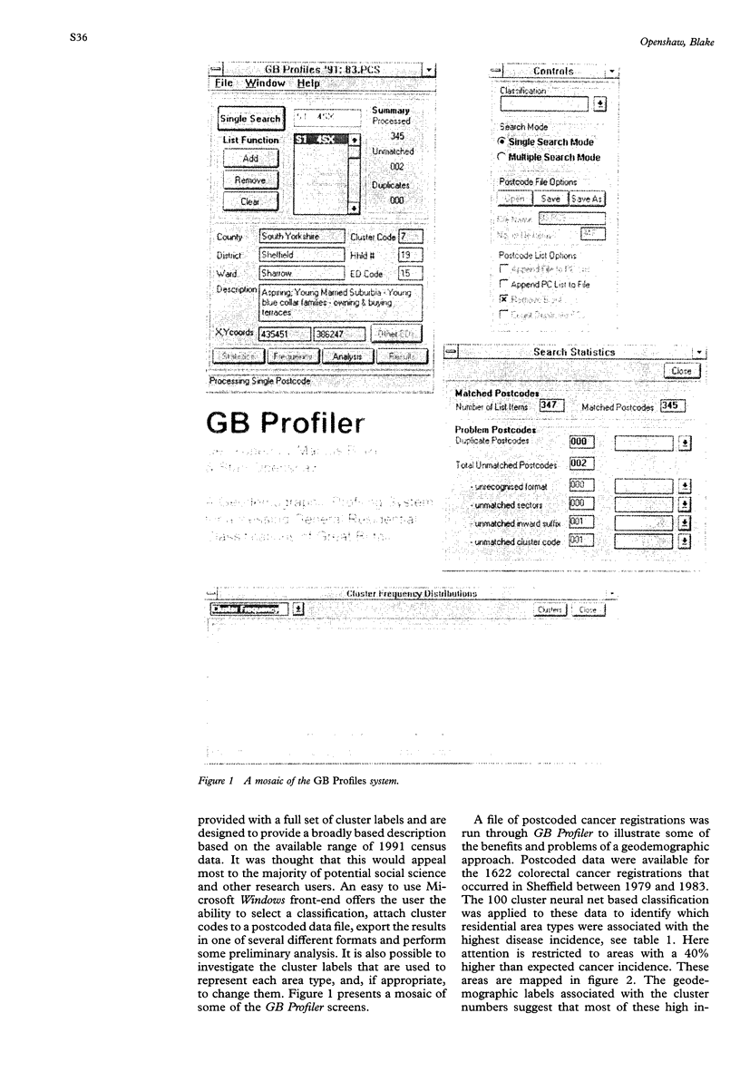
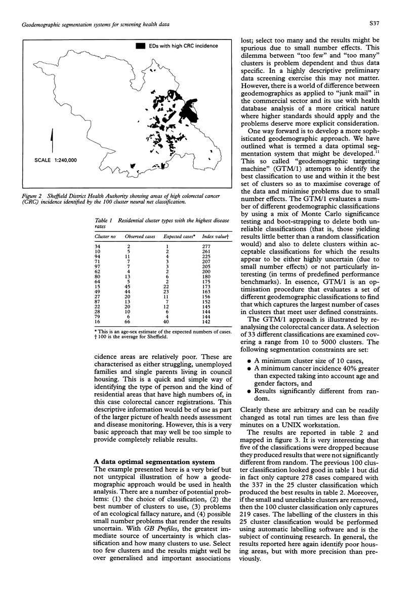
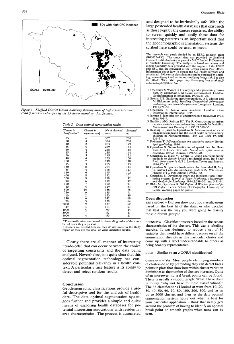
Images in this article
Selected References
These references are in PubMed. This may not be the complete list of references from this article.
- Bradford M. G., Robson B. T., Tye R. Constructing an urban deprivation index: a way of meeting the need for flexibility. Environ Plan A. 1995 Apr;27(4):519–533. doi: 10.1068/a270519. [DOI] [PubMed] [Google Scholar]
- Jarman B. Identification of underprivileged areas. Br Med J (Clin Res Ed) 1983 May 28;286(6379):1705–1709. doi: 10.1136/bmj.286.6379.1705. [DOI] [PMC free article] [PubMed] [Google Scholar]
- Reading R., Jarvis S., Openshaw S. Measurement of social inequalities in health and use of health services among children in Northumberland. Arch Dis Child. 1993 May;68(5):626–631. doi: 10.1136/adc.68.5.626. [DOI] [PMC free article] [PubMed] [Google Scholar]


